
Thermals are columns of rising hot air, driven by the sun differentially heating the ground. When there is sufficient moisture in the atmosphere, that rising air condenses at the top of the thermal to form a Cumulous cloud (or ‘Cu’).
Cumulous clouds are the classic fluffy white clouds often seen on a sunny day. These clouds showing a glider pilot the top of where a thermal is (or where it was – the lift under them tends to ‘cycle’ on and off over time).
Thermals can exist whether the Cu clouds are there as indicators of it or not. The gliding term for the Cu cloud right above you is a “Near Cu”. The term for the even better looking Cu Cloud that is just too far away to reach is a “Far Cu”.
Covering ground on a Thermal day involves circling slowly and tightly in the core of the rising air, gaining height, until the thermal starts to weaken. Then it is time to set sail for your intended destination, optimising your cruising performance by slowing down in lift and speeding up in ‘sink’ (a technique called ‘Dolphin Soaring’). If you get low again, it is time to find another thermal.
Australia is a great place to fly gliders in general. In the arid areas of the mainland it is possible to achieve quite spectacular soaring distances in the middle of summer. How far can you go? Just take a look at the current Australian Distance Records.
Back in Tasmania, on Day Two of Three, the wind had moderated and the day was several degrees warmer. The Skysight weather model indicated that there would be thermals in the middle of the day rising to 5500 feet or so, which is easily high enough to have a very fine time going gliding.
We set off in the Pipistrel Taurus Electro to explore those thermals and found that they were big, wide and gentle (not always the case!), and that the intermediate sink zones were also quite moderate.
Gabe and I wound up reaching around 6000 feet (very much in accordance with the prediction) over the very same valley that we had wave soared across the day before. The snow on the Central Plateau from the previous day had already started to melt.
We had a lovely time of it, just wafting about the neighbourhood, and the living was easy. Indeed, as is often the case on a good thermalling day – by late in the afternoon it seemed hard to go down 🙂
Here are some pictures from Day Two:
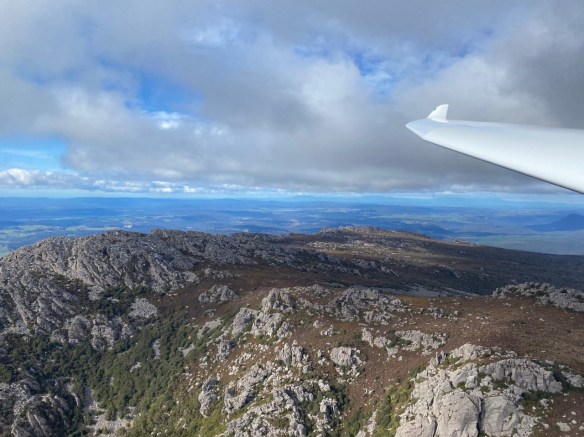
Mount Roland from just above the summit 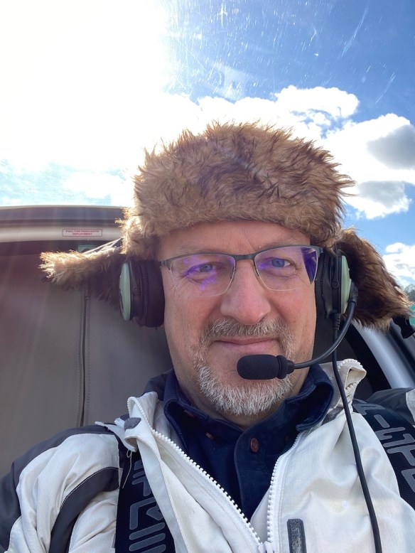
High Altitude Headgear 
Mount Roland looks dramatic from any angle 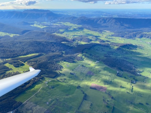
Near Mole Creek with Mt Roland (left) and Gog Range (right) in the distance 
The Vale Airfield 
Skysight Thermal Model 
Going in Circles: Thermals to 6000 feet
In the next post – on day three – I had a chance to use yet another soaring technique – Ridge Soaring.

You must be logged in to post a comment.